Assessment of Current Ice Conditions Relevant to Distribution and Access of Walrus
Click the name of each community below to view more frequently updated and detailed information from the National Weather Service.
Synopsis: Weak low pressure lingers in the southern Bering Sea through Saturday. A stronger system develops in the southern Bering Sea on Sunday and Monday, along with a stronger front. Both will linger through Wednesday.
Near St. Lawrence Island
On Thursday, 18 April, the polynya between Gamble and Savoonga had closed. Shorefast ice remains intact from Iwoorigan Camp up to 4 miles (6.4 km) to Kangee Camp up to 1 mile (1.6 km) from the coast. The polynya beyond the shorefast ice between Ataakas Camp and Lietnik has mostly closed with new ice, but some open pack ice with small to big floes remains. Otherwise, the shorefast ice is 2–3 miles offshore (3.2 to 4.8 km). Polynyas are forming on the south side of the island from Camp Kulowiye through Kialegak Pt. up to 10 miles (16 km) to the east. Another extends from Powooiliak Bay up to 15 miles (24 km), as well as Oomeyaluk Bay, up to 5 miles (8 km). Beyond the polynya in all directions is close to very close pack ice with big to vast floes.
Nome
This area has not yet started for the 2024 SIWO season.
Nome port entrance webcam (via AOOS webpage): https://bering-sea.portal.aoos.org/?ls=79875242-e362-65cb-914e-fed20ff9…
Brevig Mission/Port Clarence Area
This area has not yet started for the 2024 SIWO season.
Wales to Shishmaref
This area has not yet started for the 2024 SIWO season.
Diomede
This area has not yet started for the 2024 SIWO season.
Forecast Discussion
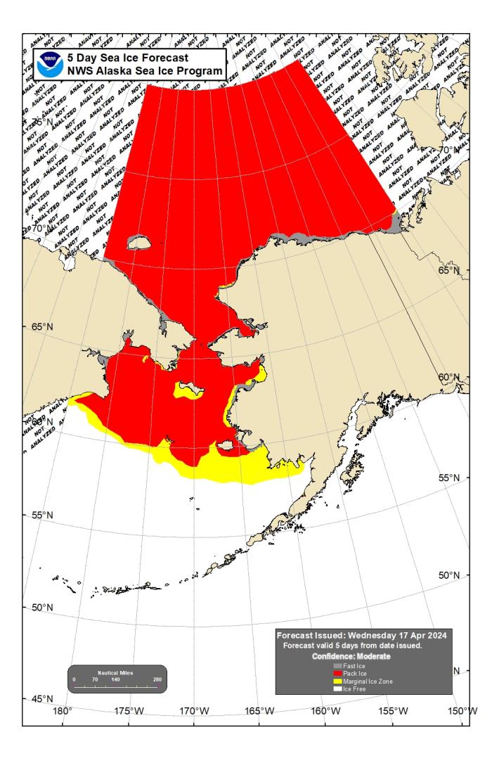
Ice Forecast
Northerly winds will close any existing polynya on the north side of the island, while continuing to open polynya on the south side. As we get further into next week, the polynya will favor both south and west facing coastlines. The shorefast ice on the west side of the island between Gambell and Booshu Camp will be vulnerable to break off in the stronger winds.
Wind Synopsis
Through Friday, we should see southwesterly winds at 12 kts turning westerly overnight and weakening to around 8 kts. Going through the weekend, the winds will begin to turn towards the northeast and will slowly strengthen with peak winds Sunday afternoon at 25 kts with gusts up to 40 kts. These conditions will persist through Monday, and begin to weaken Tuesday with winds of 15 kts. Wednesday the winds will begin to strengthen to 20 kts with gusts of 35 to 40 kts. The winds will persist through Friday with a chance that Friday could see winds of 30 kts with gusts of 45 to 50 kts. Those winds are still extremely uncertain as models are showing a system potentially developing but the strength and track of the low remains extremely uncertain.
Temperature Trend
High temperatures should remain relatively static throughout the week, with highs in the mid to upper 20s. The coldest period looks to be Sunday through Wednesday with temperatures at 25 degrees. Friday night we should see the coldest minimum temperatures for the week at 10 degrees. Then should remain fairly static throughout the week with low temperatures of 17 to 19 degrees.
Daily Weather, Wind, and Temperature Updates
The National Weather Service provides twice-daily, text only updates on the weather, wind, and temperature conditions in specific geographical zones. An interactive weather map for access to other Alaskan zones can be found here: http://weather.gov/anchorage/ice
Higher resolution satellite images and wind maps (wind updated daily) can be viewed here: http://www.weather.gov/afg/SIWO_overview
The Alaska Ocean Observing System shares a variety of weather and sea ice related resources in their Bering Sea Portal at https://bering-sea.portal.aoos.org/.
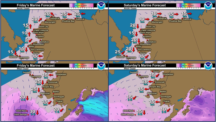
Marine forecast for the West Coast and Arctic Coast
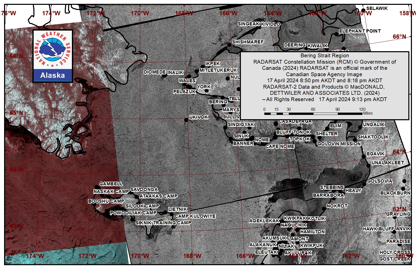
Remote Sensing Images
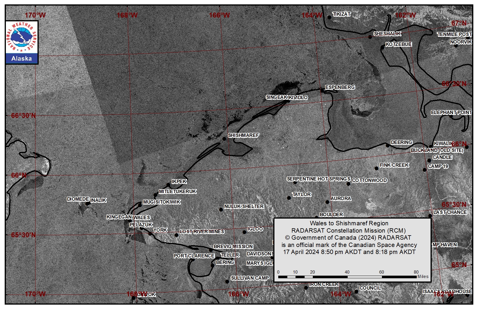
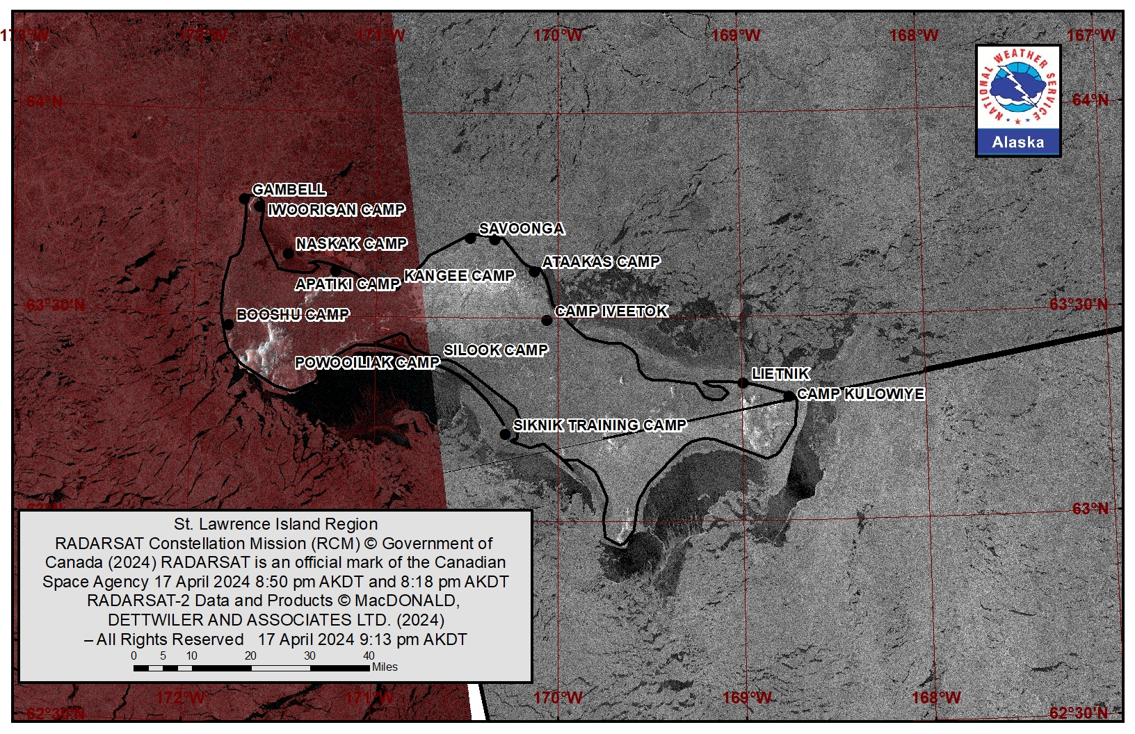
Observations and Comments
Observations of Sea Ice Development
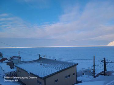
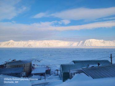
Observations from Diomede
Tuesday, 16 April 2024 – Marty Eeleengayouq Ozenna
We’re closed to the south and north, at the moment have about 35–30 knots northeast an beautiful day.
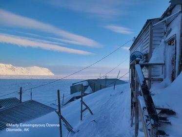
Observations from Port Clarence, Brevig Mission, and Cape Douglas
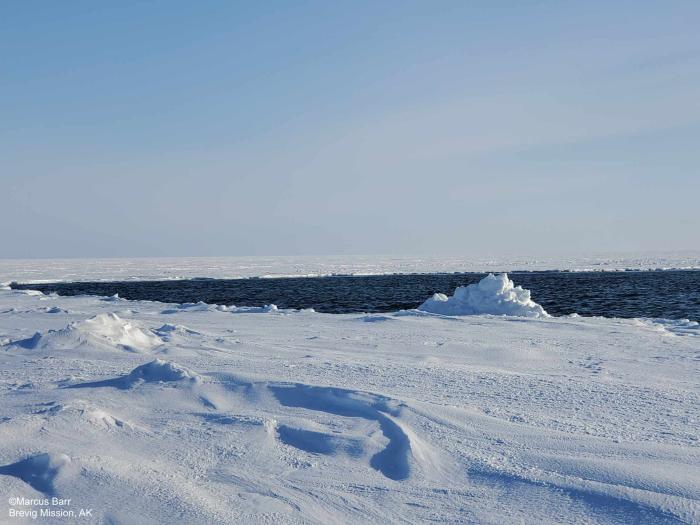
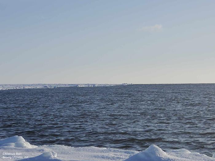
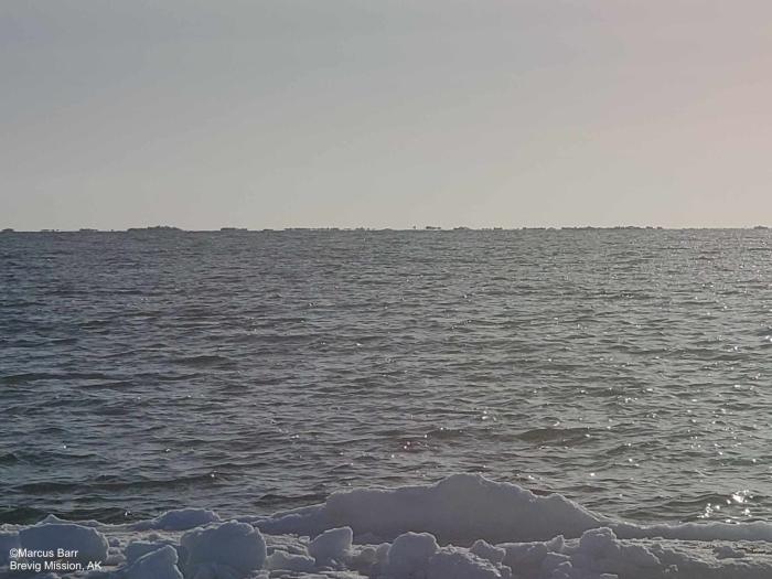
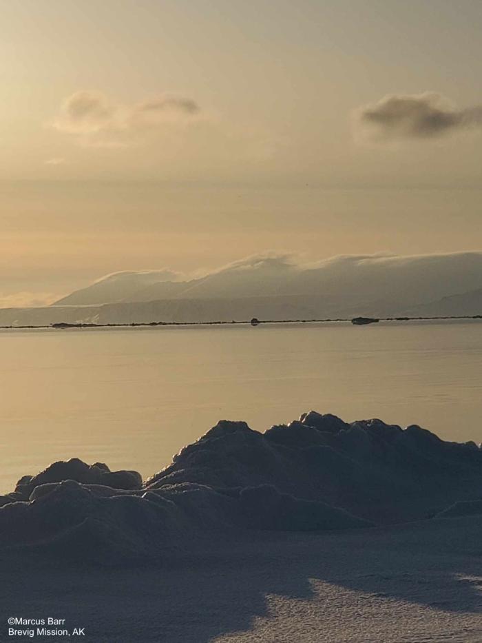
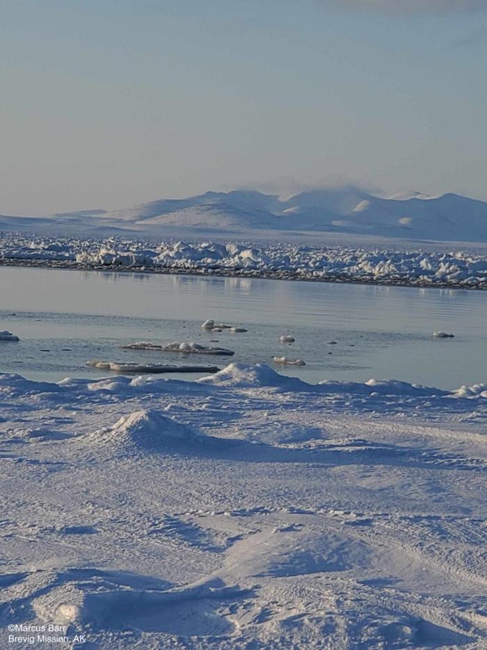
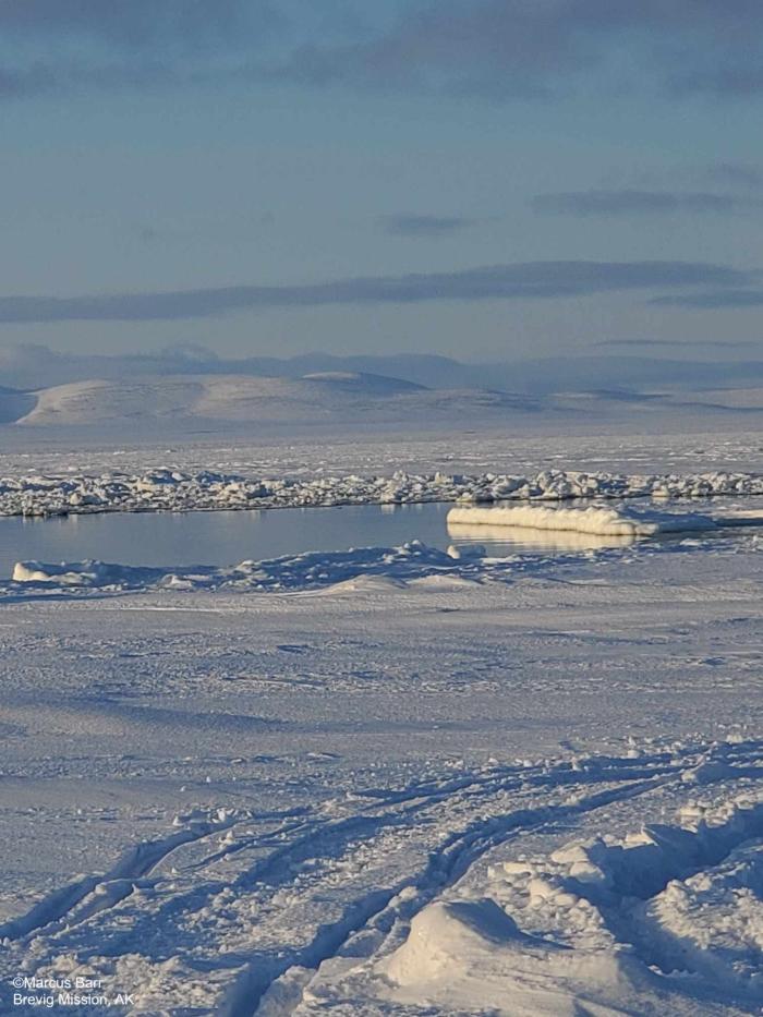
Thursday, 18 April 2024 – Marcus Barr
Pics from 18 April 24. Shorefast ice between Port Clarence point and the beach west of Brevig about 8 miles. Open water with scattered ice. Shorefast ice is slowly breaking off. Hunters are cleaning out their boats.
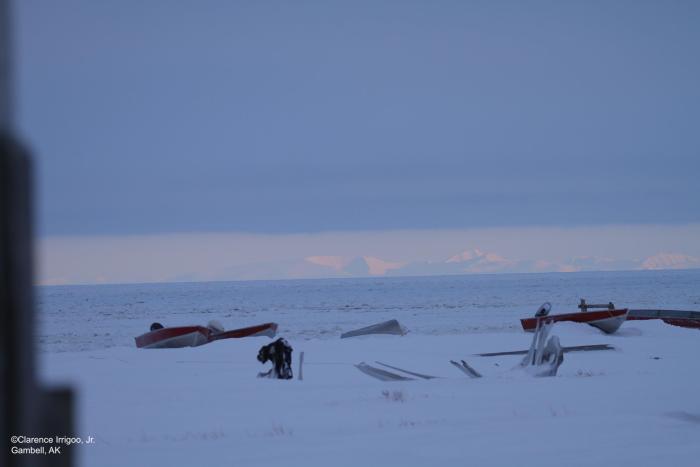
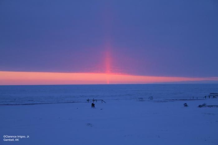
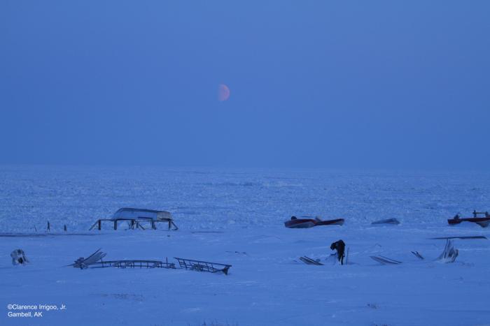
Observations from Gambell
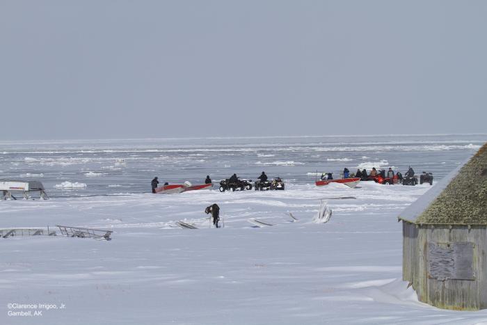
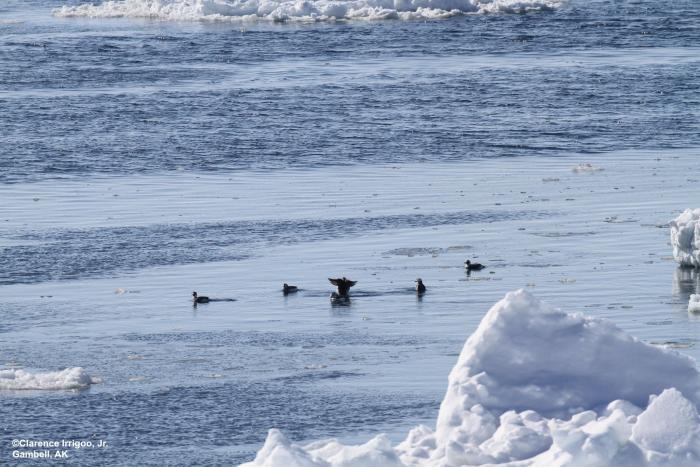
Friday, 19 April 2024 – Clarence Irrigoo, Jr.
To this day we have ice covered 7° WNW 5 mph.
Observations from Savoonga
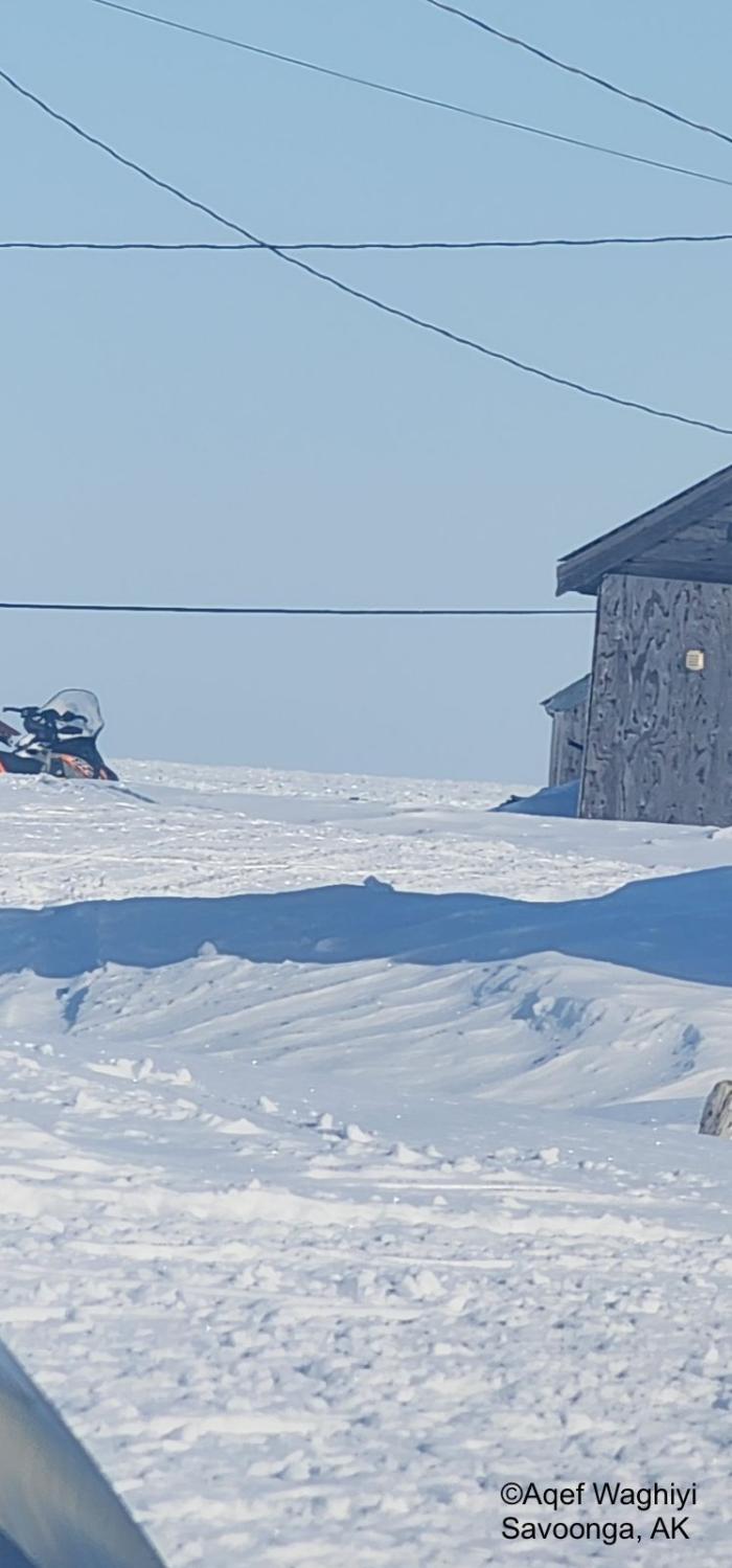
Friday, 19 April 2024 – Aqef Waghiyi
Calm today. Can’t read the wind. 16 degrees, no open water north side of the island. Everyone is at Southside trying to get Whale. 996 the pressure, humidity is 70%.
Observations from Nome
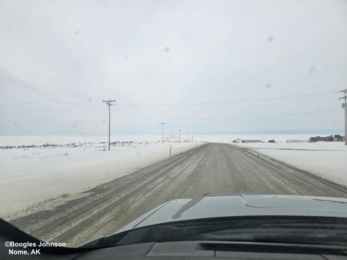
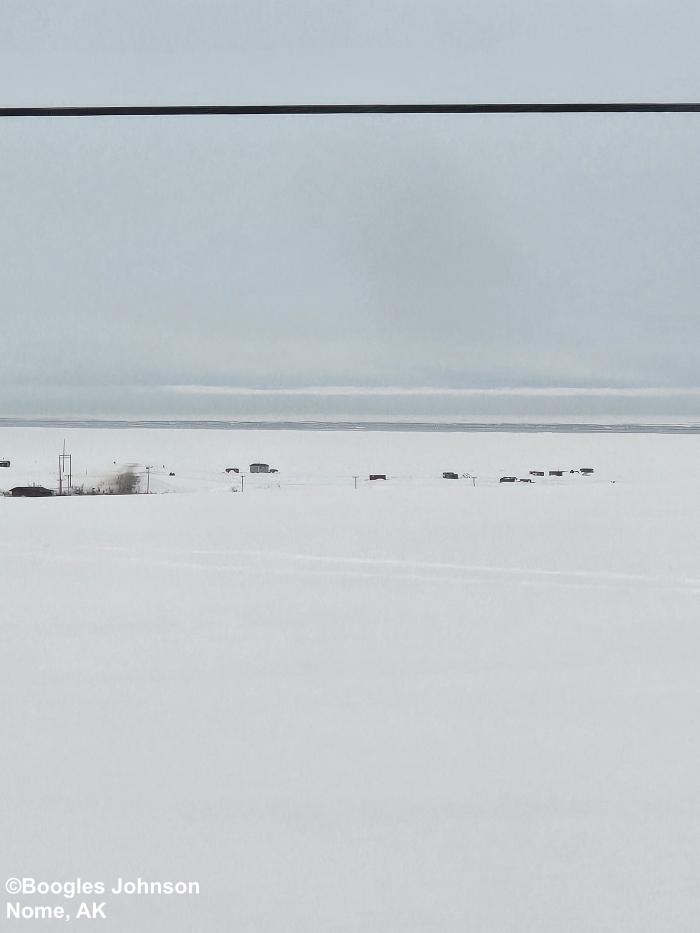
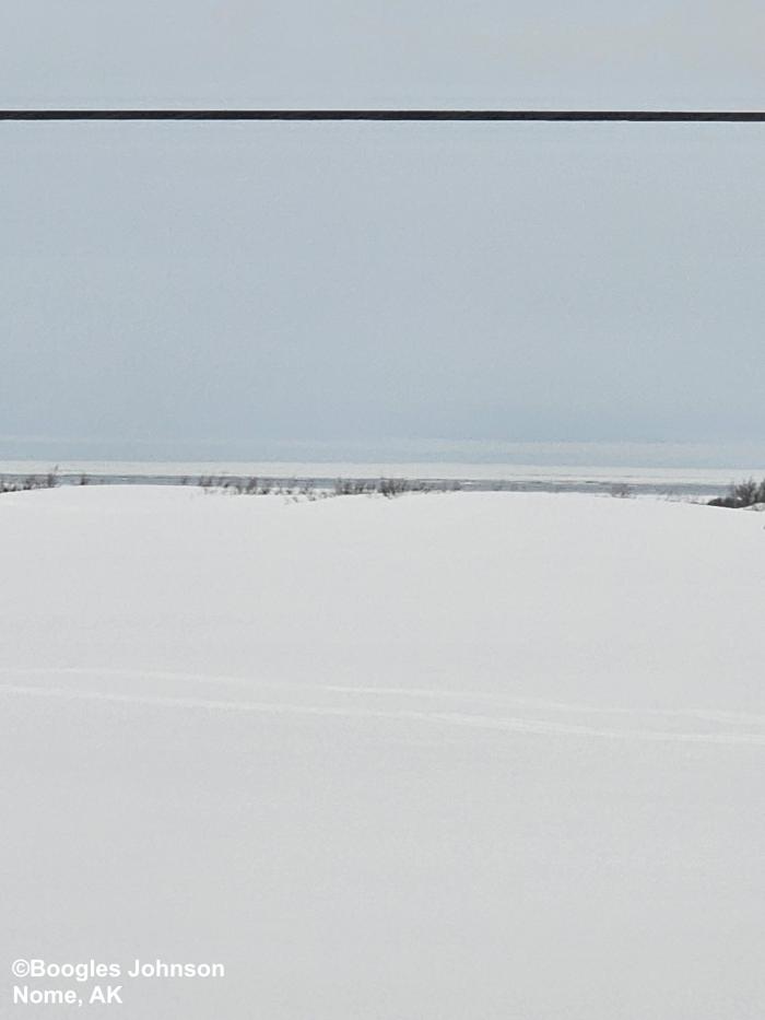
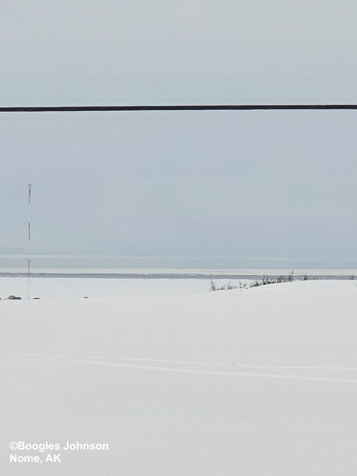
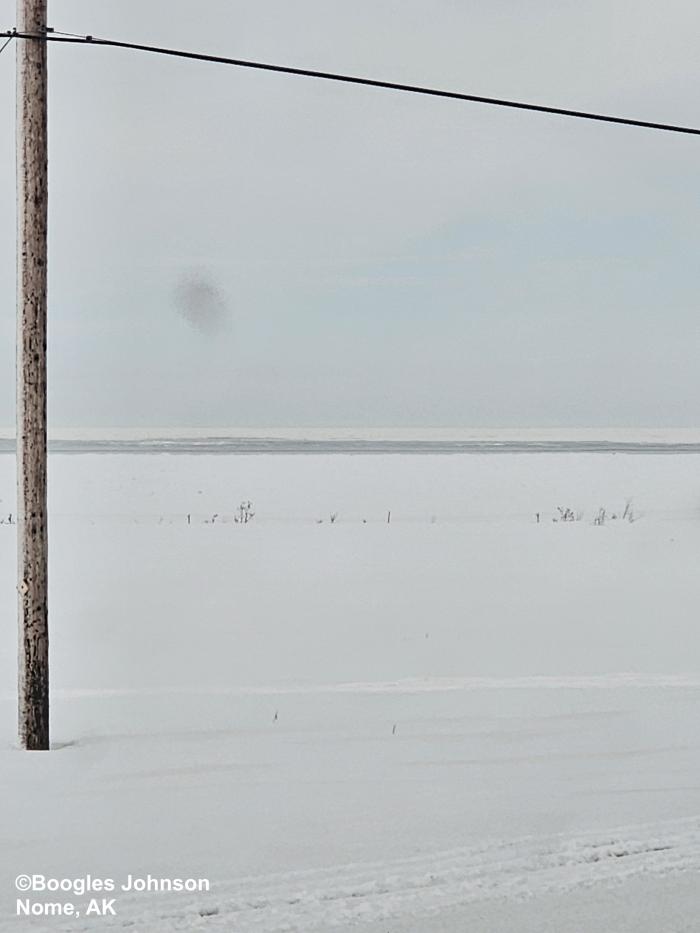
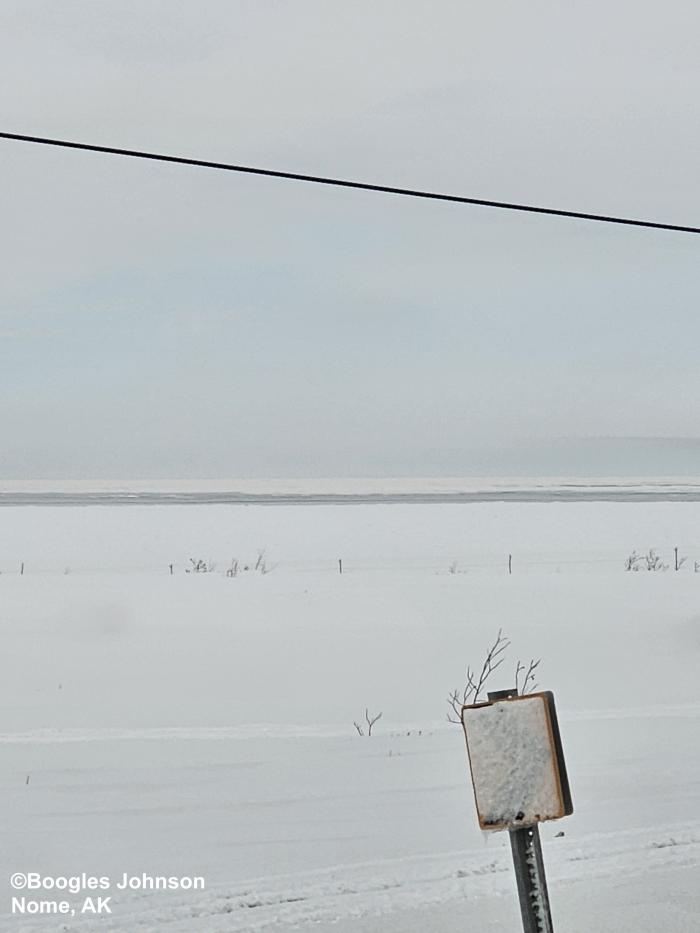
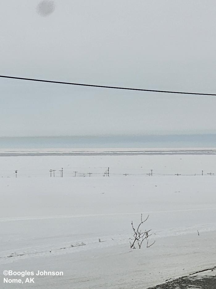
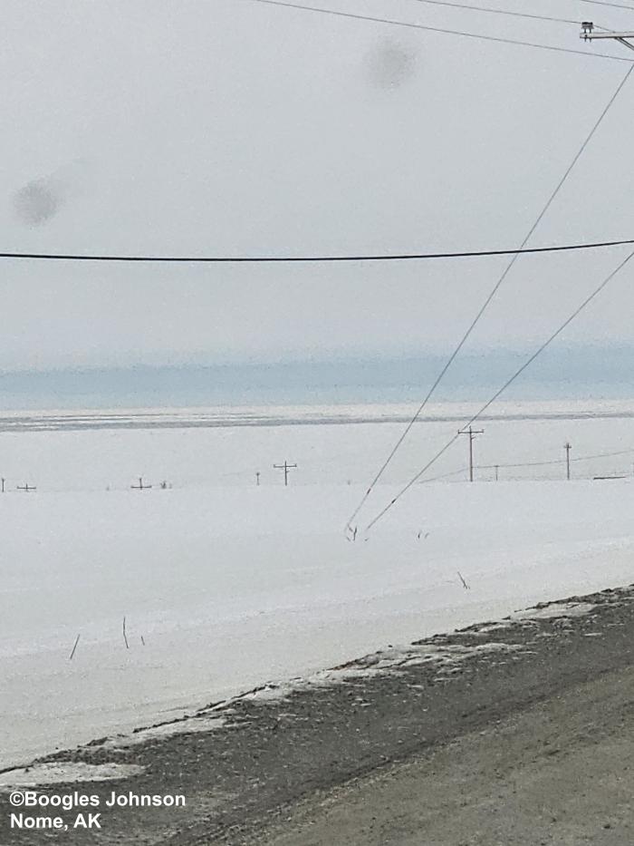
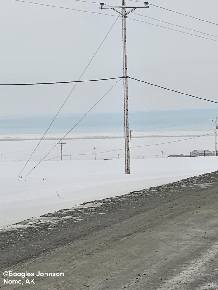
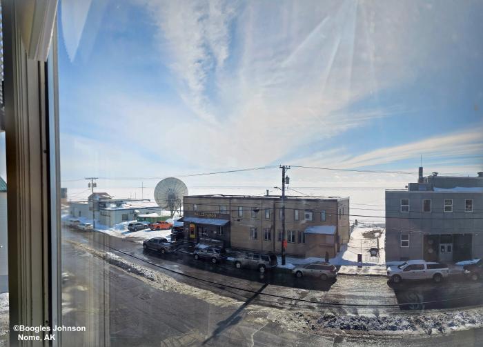
Friday, 19 April 2024 – Boogles Johnson
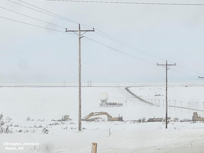
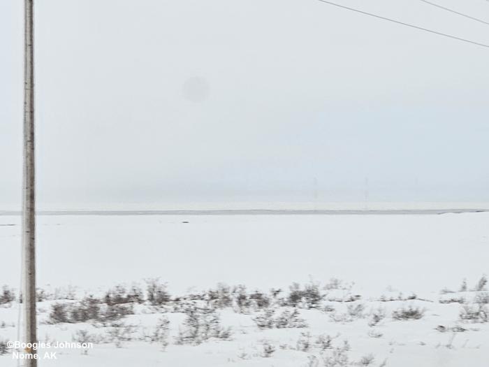
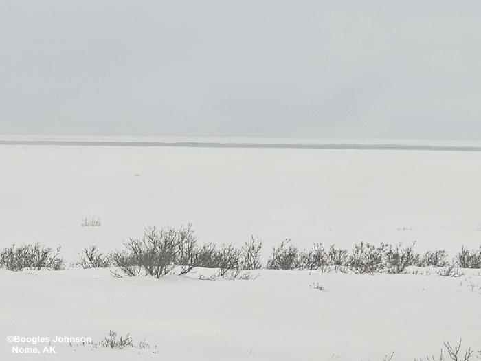
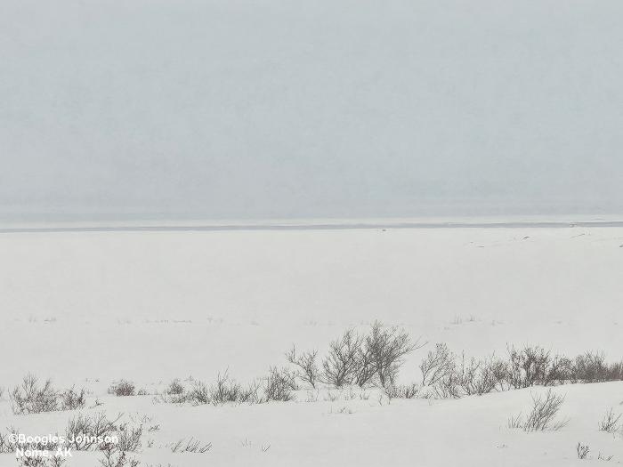
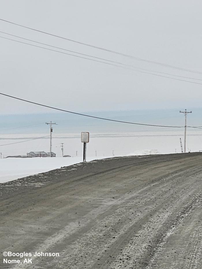
The sea ice is just starting to visibly move and spring is on the way. The pictures from the building are my office at the Old Federal Building 3rd Floor looking south no visible leads. The pictures outside of Nome are approx. 1 mile east of Nome. The shore ice has not moved but about 1.5 miles out the ice has been going in & out depending on the North wind. Sea Ice breakup is just starting in Nome. There currently is no flow on the rivers and we are just starting the spring thaw.
Observations from Wales
Friday, 19 April 2024 – Robert Tokeinna, Jr.
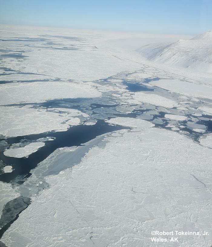
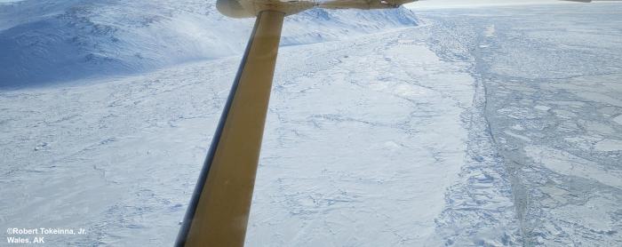
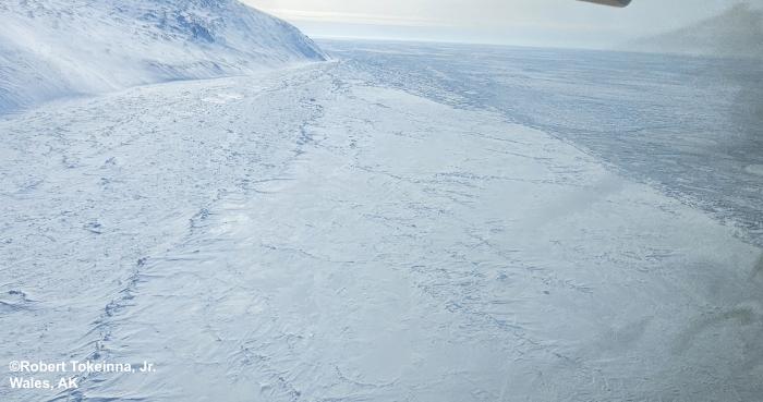
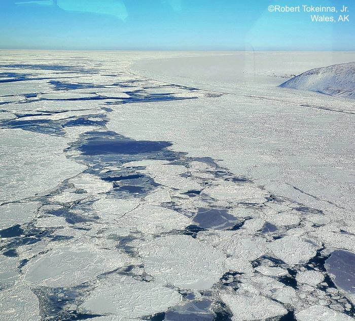
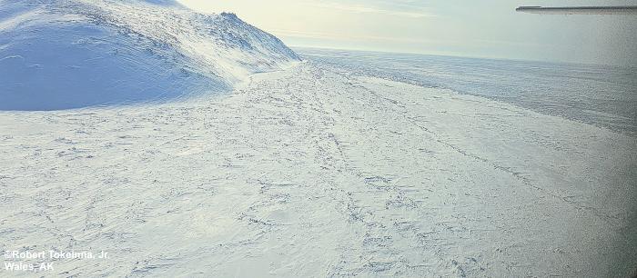
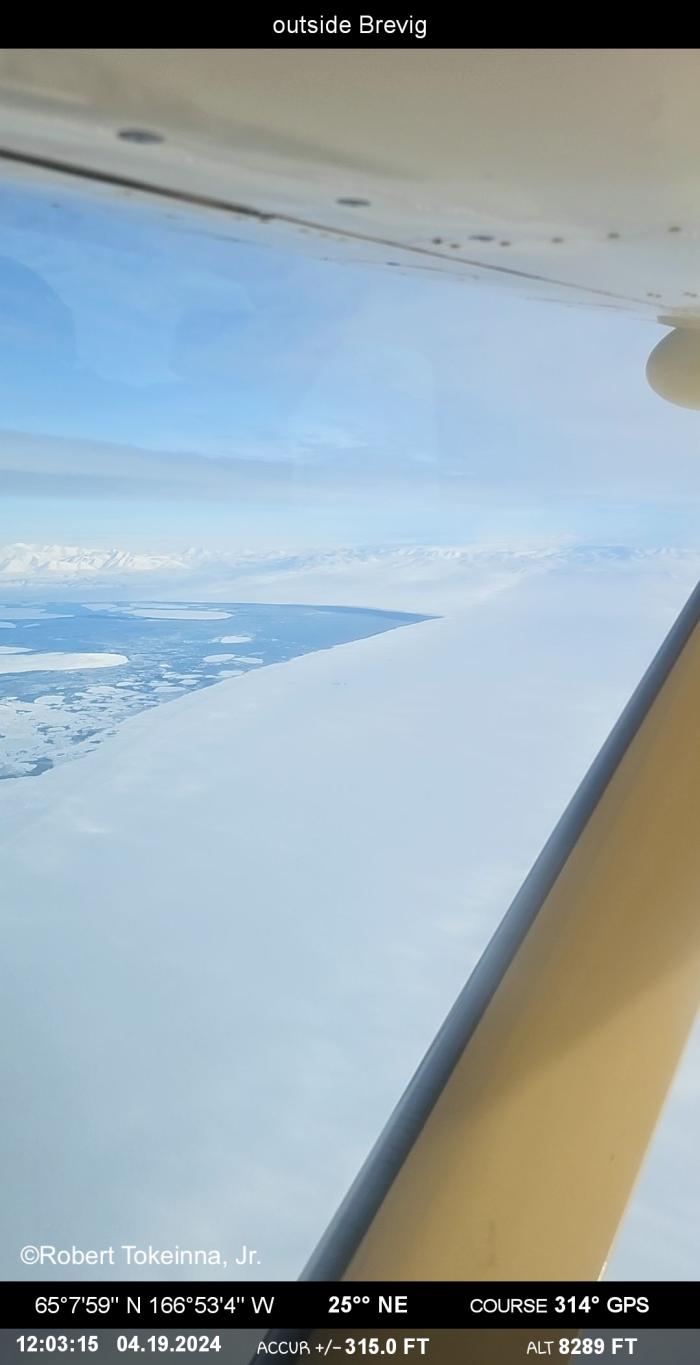
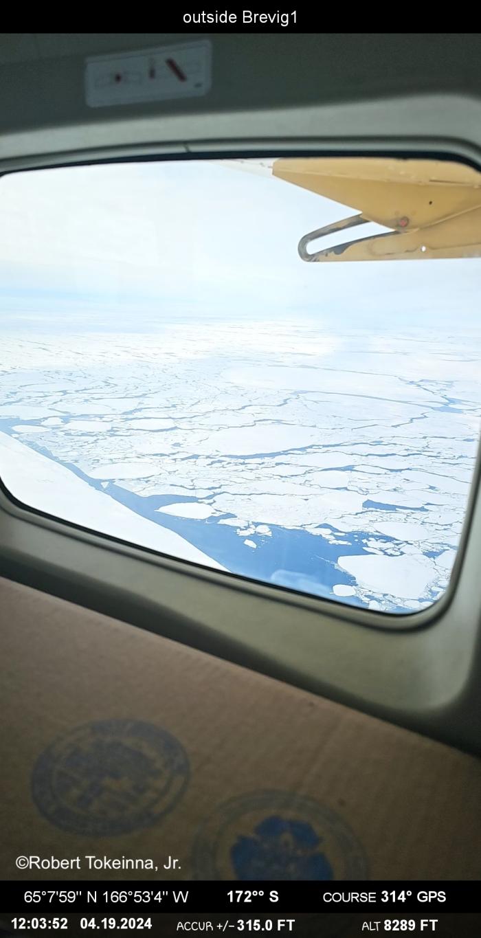
Past couple of weeks it has been a very snowy and stormy couple of weeks. There was a polar bear sighting near the village a couple of days ago on Wednesday afternoon. While we were landing, there were breaching Bowhead and Beluga whales sighting. The Ice in-between Nome and Wales looks like in the pictures. Mostly young Ice cakes and pancake Ice as far as the Ice can see there were patches of open too. I have enhanced a couple of pictures to let you see the differentials of Ice and its formations. I took some Compass Pro pics to show that I was in flight and to show the Ice has been moving quite a bit. These pictures show you the movement and formation of our Ice this year.
I hope this helps, more to come next week.
Additional Comments Provided by Local Experts and Other Contributors
Shared by the Alaska Ocean Observing System (AOOS) for 18–24 April 2024
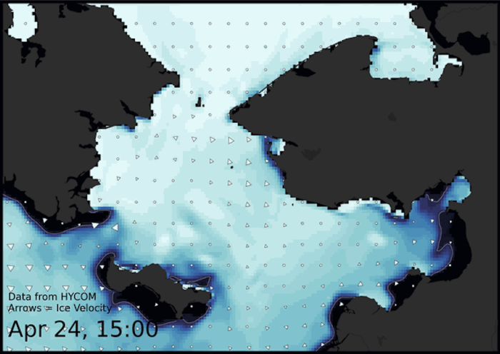
Visit the SIWO Facebook page @seaiceforwalrus to view this animation showing the predicted movement of ice predicted by the HYbrid Coordinate Ocean Model (HYCOM). Snapshots from the forecast show ice coverage from 0% (black) to 100% (white) and arrows show the relative speed and direction of the ice. A light boundary is drawn at 15% predicted ice cover to highlight the ice edge, but ice may be predicted to extend beyond it. Some bays, lagoons, and areas very close to shore are not covered by the model. (Image produced by the Alaska Ocean Observing System / Axiom Data Science).

