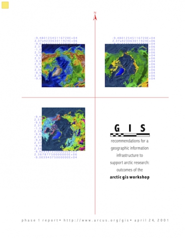
Recommendations for a Geographic Information Infrastructure to Support Arctic Research: Outcomes of the Arctic GIS Workshop
In January 2001, the National Science Foundation sponsored the Arctic Geographic Information Systems Workshop to bring together academic and agency researchers and private industry experts to discuss and develop recommendations to improve the use of GIS in arctic research. Over 100 participants attended the workshop, representing an international cross section of GIS expertise and arctic science interests, ranging broadly across anthropology, ecology, earth sciences, oceanography, resource management, and information science, climate change, and other fields.
The Phase I Report from the Arctic GIS Workshop, titled Recommendations for a Geographic Information Infrastructure to Support Arctic Research: Outcomes of the Arctic GIS Workshop, presents a summary of workshop discussions and recommendations to engage the larger arctic research and GIS communities in the process of developing geographic information infrastructure to support arctic research. This publication is now available as a download from the ARCUS web site by clicking on the icons above. Additional information about the workshop is also accessible from the dropdown menu above.
The Phase I Report is available only as a web published document. A final report, to be published in hard copy later this year, will provide more comprehensive community input to guide geographic information infrastructure development by NSF and other organizations.
We invite you to browse the ARCUS web site to learn more about the workshop, read poster and presentation abstracts, and download powerpoint presentations.
![]() Outcomes of the Arctic GIS Workshop (PDF - 383 KB)
Outcomes of the Arctic GIS Workshop (PDF - 383 KB)
Foreword from the Arctic GIS Workshop organizing committee co-chairs
The Arctic provides many opportunities for studying social, cultural, political, ecological, and economic processes over time and across political and cultural boundaries. Recent advances in information technology and geographic information systems (GIS) offer arctic researchers unique avenues for collaboration and investigation through an unprecedented ability to collect, examine, and share georeferenced data. In January 2001, the National Science Foundation sponsored the Arctic Geographic Information Systems Workshop to bring together academic and agency researchers and private industry experts to discuss and develop recommendations to improve the use of GIS in arctic research. Over 100 participants attended the workshop, representing an international cross section of GIS expertise and arctic science interests, ranging broadly across anthropology, ecology, earth sciences, oceanography, resource management, and information science, climate change, and other fields. The Phase I Report from the Arctic GIS Workshop, titled "Recommendations for a Geographic Information Infrastructure to Support Arctic Research: Outcomes of the Arctic GIS Workshop", presents a summary of workshop discussions and recommendations to engage the larger arctic research and GIS communities in the process of developing geographic information infrastructure to support arctic research.
The number of participants, the diversity of fields represented, and the vigor of the discussions emphasized the importance of geographic information systems to arctic research and highlighted the many challenges to successful development and implementation. The questions raised do not have simple answers, nor can all of the recommendations be followed simply and quickly. A great deal must be done to continue this discussion and create a well-integrated infrastructure that promotes interagency and interdisciplinary collaboration and sharing of information. Recommendations in this report are a starting point to help guide the efforts of researchers, funding agencies, and technical experts.
We thank all who contributed their ideas and expertise to this endeavor. This report is due in large part to the commitment of the participants and to the efforts of the workshop organizing committee and working group leaders. Renée Crain of ARCUS coordinated the workshop organization and the report drafting and editing. David Marusek of Attention Graphics contributed technical expertise for graphics and report layout. Technical and logistical support provided by Diane Wallace, Zeb Polly, Josh Klauder, Sue Mitchell, Joed Polly, Danica Johnson and other ARCUS staff made the workshop go smoothly. Wendy Warnick of ARCUS guided the overall planning process.
On behalf of the arctic research community, we would like to thank the National Science Foundation for the opportunity to participate in this important planning process.
Mark Sorensen, co-chair
Principal
Geographic Planning Collaborative, Inc (GPC)
William Manley, co-chair
Institute of Arctic and Alpine Research (INSTAAR)
University of Colorado
April 2001
