Assessment of Current Ice Conditions Relevant to Distribution and Access of Walrus
Near St. Lawrence Island
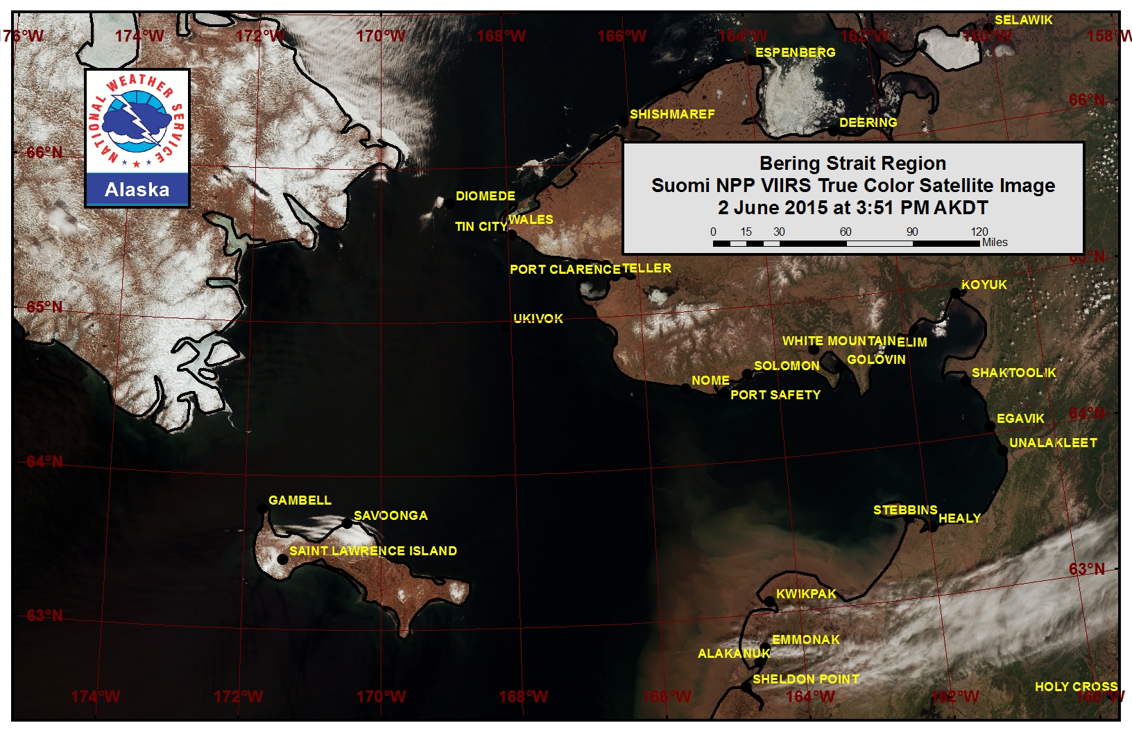
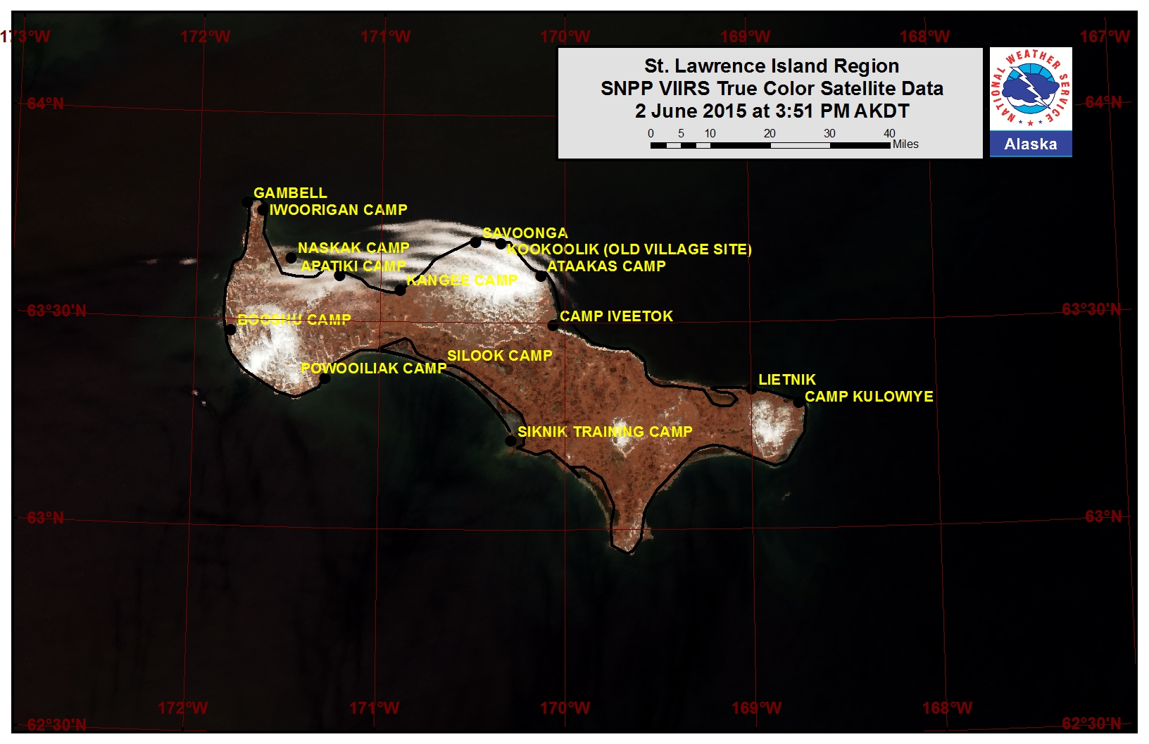
The only sea ice left around St. Lawrence Island remains in the lagoons. This sea ice is rotting in place. The island is surrounded by sea ice-free conditions at this time.
Wales to Shishmaref
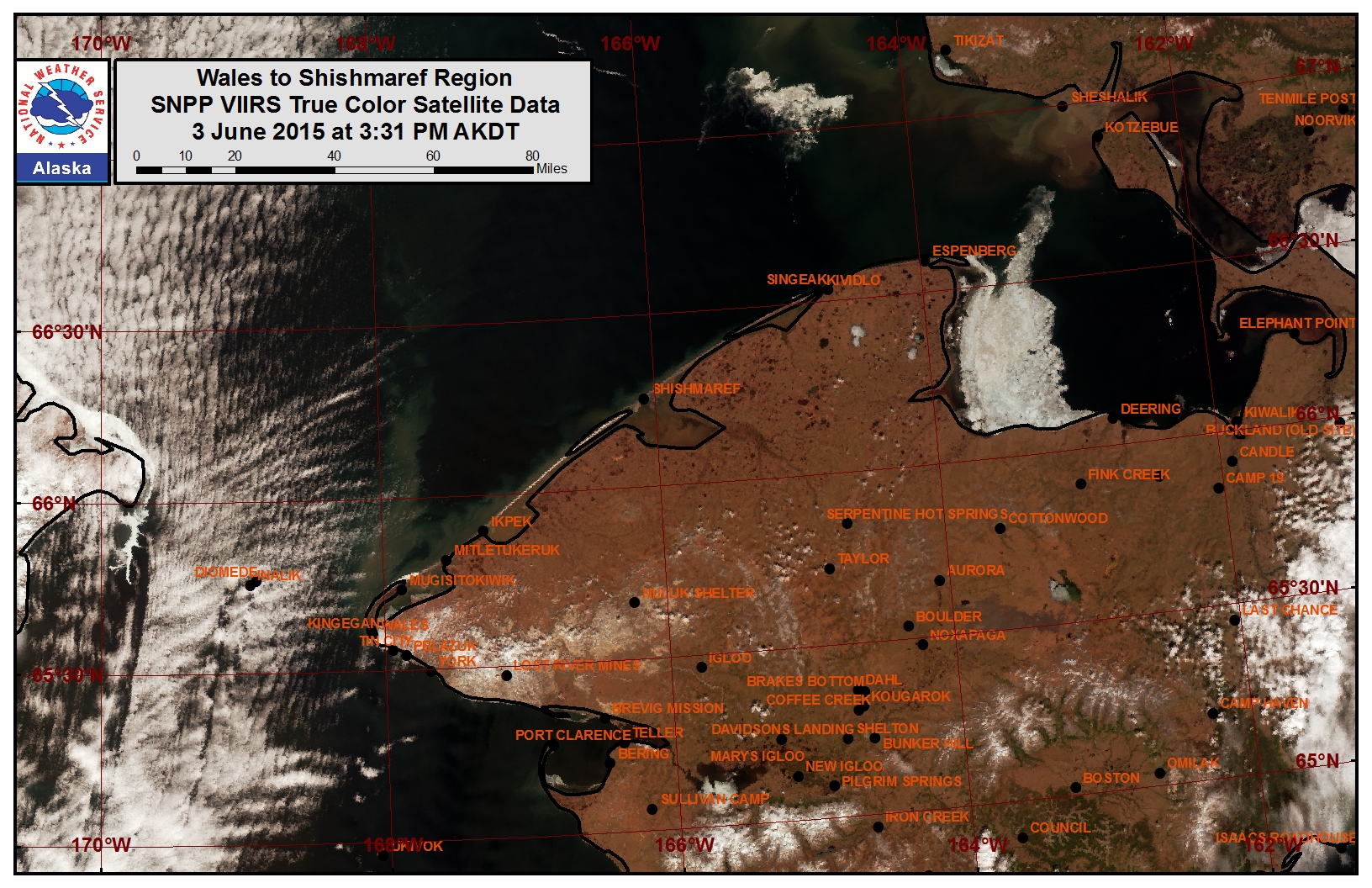
The only sea ice remaining is near Mugisitokiwik, as well as in the southern end of Lopp Lagoon. The ice along the coast near Mugisitokiwik extends out 1 nautical mile or less from the coast.
5 to 10 Day Forecast
Weather System/Wind Synopsis
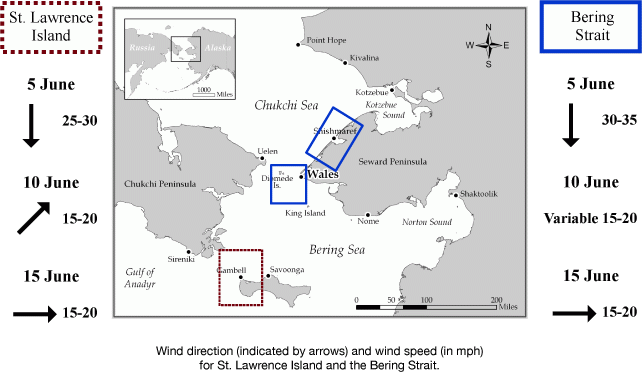
Low pressure will be over the mainland of Alaska on Friday, 5 June, producing northerly winds of 20 to 25 kt (25 to 30 mph). A weak low will move over the Bering Strait Saturday night with winds changing from the north at 15 to 20 kt (20 to 25 mph) early Saturday to southerly at 15 to 20 kt (20 to 25 mph) by midday Sunday, 7 June. A front approaches from Siberia on Monday, increasing the southerly winds to 20 to 25 kt (25 to 30 mph). The front retreats into the Arctic Monday night as a low moves into the southern Bering Sea. Winds will switch to the north at 15 to 20 kt (20 to 25 mph) for Tuesday, 9 June as the low moves to Nunivak Island. The low moves to the Chukchi Sea on Wednesday with north winds remaining at 15 to 20 kt (20 to 25 mph). The low moves into the Russian Chukchi Sea Wednesday night and remains over Eastern Russia through Thursday, 11 June. Winds will again switch to the southwest at 15 to 20 kt (20 to 25 mph) for Thursday. This weak low is pushed north Friday as a stronger low swings into the western Bering Sea. Southeasterly winds will increase to 20 to 25 kt (25 to 30 mph) for Friday. The low will move into eastern Russia Saturday, 13 June with southerly winds increasing to 30 kt (35 mph). The low continues to move into the Arctic north of Russia Sunday, 14 June with southerly winds of 20 to 25 kt (25 to 30 mph). By Monday the 15th, high pressure will be over the northern Bering Sea creating west winds of 10 to 15 kt (15 to 20 mph).
Temperature Trend & Ice Forecast
Temperatures will be around normal with daytime temperatures around 35 to 45°F. The warmest temperatures will be on the mainland. Overnight temperatures in the 30s are anticipated.
During this time the remaining coastal ice outside of the lagoons along the coast from Wales to Shishmaref is expected to melt out this week. Sea ice remaining within the lagoons will continue to melt in place.
Marine forecast for the West Coast and Arctic Coast

Remote Sensing Images


Observations and Comments
Observations of Sea Ice Development
Observations from Nome
5 June 2015 - Fred Tocktoo
Ice conditions each year seem to be later in the fall and thinner, constant movement beyond three to five miles from shore. Early break ups have been seen in Seward Peninsula, Alaska within the last twenty years.
Observations from Wales
6 June 2015 - Winton Weyapuk
One resident said she saw what appears to be shorefast ice 8 miles north of Wales but she was not sure if it was still solid or fractured or broken up. So it seems there is more sea ice between here and Shishmaref than we thought, at least along the shore.
5 June 2015 - Winton Weyapuk
As we thought might happen, the strong northerly wind during the past two days pushed pack ice back down the coast to Wales. It is composed of mainly small broken pieces, bergy bits, small rounded floes, and some small floes. The amount is comparable to other instances when pack ice has been pushed back south to Wales in the past. I will keep an eye on it and note what it does in the next few days or the next week or so. Temperatures are cold, in the low 30's today.
